From Drones to Seabirds: The Future of Arctic Monitoring
The Norwegian Scientific Academy for Polar Research (NVP) together with the Norwegian Academy of Technological Sciences (NTVA) arranged a seminar entitled “Technology and Nature-hand in hand” on 12 April at the Fram Centre in Tromsø. The seminar brought together researchers, technologists, managers, and other interested parties for professional input and dialogue on the future of environmental monitoring in the Arctic.
The Arctic is changing rapidly. Climate change, increased activity, and natural variations affect the ecosystems in the north in ways we are still working to understand. To ensure knowledge, sustainable management, and good decisions, environmental monitoring is crucial.
Environmental monitoring is a systematic collection of data to document environmental conditions and changes over time. The methods range from traditional field surveys to the use of advanced sensor technology and remote sensing. Modern monitoring of nature and the environment includes satellites, drones, aircraft-based systems, sensors for measuring air and water quality, automated measurement and sampling stations, as well as the recording of biological, chemical, and physical parameters.
Arctic conditions with large seasonal variations, extreme cold, and changing light conditions create specific challenges for data collection. This requires the development of new technology and adaptation of existing solutions to ensure reliable and continuous measurements.
Dr. Geir Wing Gabrielsen, the Secretary General, was leading the seminar. At the seminar, leading experts in biology and technology presented results from field studies where satellites, drones, and advanced sensors are used to monitor the ecosystems in the north. Participants got insight into how technology opens new opportunities for a better understanding of Arctic changes – and how these solutions can be applied in practice.
The following Norwegian projects were presented
COAT
Climate Ecological Observation System for Arctic Tundra (COAT) is a long-term monitoring program, organized as a center at UiT with NPI, NINA, and MET as key partners. COAT aims to provide reliable documentation and early warning of the effects of climate change on biodiversity, natural resources, and ecosystem processes in Norwegian Arctic, as a basis for management measures and adaptations. COAT's data collection occurs through field campaigns, remote sensing, and an extensive instrument network for measuring abiotic and biotic variables. An important component of the program is COAT Tools, which works on the development, adaptation, and quality assurance of methods from technologies to modeling.
Dr. Eeva Soininen from University of Tromsø presented the implementation of new technologies to monitor climate change impacts, highlighting the work of the Climate-Ecological Observatory for Arctic Tundra (COAT). She described how technological instruments, such as camera traps and audio recorders, enable automatic or semi-automatic observations during challenging periods like the snowmelt season, which is critical for monitoring nesting birds and other animals. These instruments and other new technologies also allow for continuous monitoring and often have a smaller environmental footprint.
However, most technologies are not designed for Arctic tundra conditions and require adaptations to withstand cold, snow, limited battery life, curious animals, and the lack of mobile coverage. Additionally, new technologies generate large amounts of data, necessitating specialized expertise, storage solutions, and calibration to integrate with traditional methods. Few technologies are currently "mature" enough to seamlessly extend existing time series collected manually – a crucial need for understanding long-term climate impact trends. Soininen exemplified these challenges through COAT case studies on below snow camera trapping and on acoustic monitoring of birds.
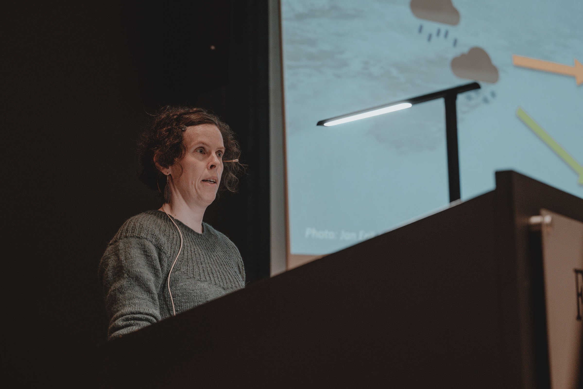
Dr. Eeva Soininen (UiT The Arctic University of Norway) presenting how new technologies are adapted for Arctic tundra monitoring through the COAT climate observation program. Photo: Ragnhild Utne / NVP
Arctic Ocean 2050
Arctic Ocean 2050 is a new ten-year research program in which 18 Norwegian institutions cooperate to build knowledge about the consequences of the Arctic Ocean transitioning from being ice-covered to seasonally open. The program includes field studies, the development and use of coupled modeling tools for operational forecasting and future scenarios, and the development of polar-adapted autonomous platforms and sensors for continuous environmental monitoring. Arctic Ocean 2050 will be one of Norway’s most important contributions to the upcoming International Polar Year (2032/2033) and aims for broad international cooperation throughout the program period.
Dr. Arild Sundfjord from the Norwegian Polar Institute presented the main goals for the Arctic Ocan 2050 program. The Arctic Ocean 2050 unites Norwegian and international expertise in a ten-year research program to understand the Arctic Ocean as it is today, and guide development for the future. Through interdisciplinary research and innovation, the program will deliver knowledge and tools for sustainable use, conservation, and stability in a changing Arctic.
The overarching research questions are 1) What are the mechanisms, likely pathways of change, and the effects of the changes occurring in the Arctic Ocean? 2) How can scientific and technological breakthroughs develop in the Arctic Ocean 2050 contribute to innovative monitoring strategies and next-generation prediction tools? 3) What are the best ways to interact with stakeholders at all management levels, to raise awareness of and improve the ability to manage risk?
The program includes 6 work packages: RT1 – The Arctic Ocean in the World, RT2-The Changing Arctic Ocean, RT3 – Human impact and sustainable use, RT4 – Abrupt and extreme events, RT5 – Advances in Observing and Modelling and RT6 – Arctic Ocean Pathways
The geographical focus areas for the Arctic Ocean 2050 are north of Svalbard and Greenland. Annual cruises with RV Kronprins Haakon are planned in the Arctic Ocean. The Arctic Ocean 2050 program will provide new important knowledge for the management of this marine area in the years to come.
Professor Asgeir Sørensen from the Norwegian University of Science and Technology gave a talk about technology and methods for mapping and monitoring the oceans, including in the Arctic.
Marine robotics—built around systems like Remotely Operated Vehicles (ROVs) and Autonomous Underwater Vehicles (AUVs) have traditionally focused on exploration, mapping, monitoring, and inspection of the ocean and subsea infrastructure. Early demand came mainly from defense, ocean science, and offshore industries, especially oil, gas, and renewable energy, where robots support inspection, maintenance, repair, and environmental assessments.
Today, the field is expanding rapidly. New sectors like aquaculture and naval operations are adopting these technologies, while growing interest in ocean exploration and infrastructure is driving increased investment. Marine robotics now includes a wider ecosystem of platforms, such as uncrewed surface vessels, aerial drones, and even small satellites for sensing and communication.
As operations become more complex, with many interacting robotic systems, vessels, and operators, the field is moving beyond single-vehicle missions toward coordinated, multi-system approaches. This shift requires new organizational models, evolving from simple cooperation and swarming to integrated system-of-systems (SoS) concepts that can manage large-scale, interconnected robotic operations.
In the Arctic Ocean 2050 program, new observation technology will target providing a step change in data harvesting capabilities with significantly higher spatial and temporal coverage and resolution compared to traditional methods.
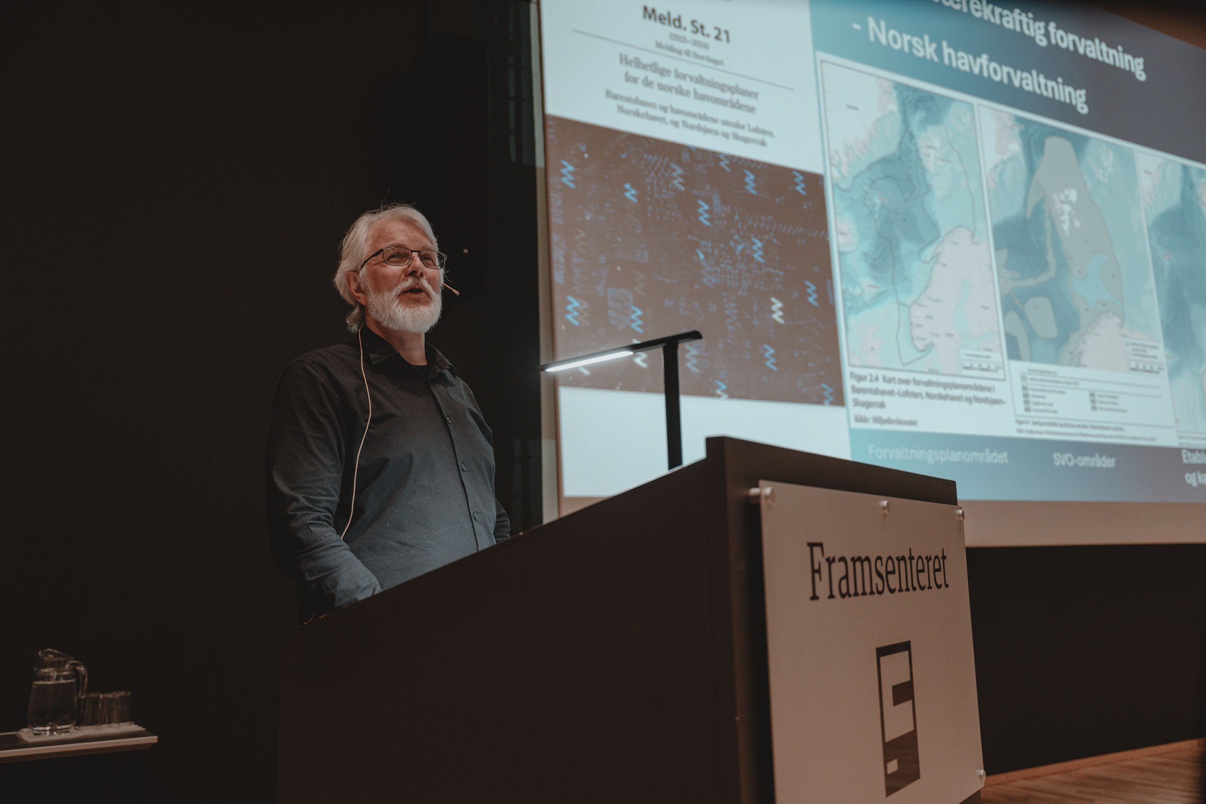
Dr. Arild Sundfjord (Norwegian Polar Institute) presenting the Arctic Ocean 2050 research program and new technologies for Arctic Ocean mapping and monitoring. Photo: Ragnhild Utne / NVP

Professor Asgeir J. Sørensen (NTNU) presenting new technologies for Arctic Ocean mapping and monitoring. Photo: Ragnhild Utne / NVP
SEAPOP/SEATRACK
SEAPOP is Norway's national program for mapping, monitoring, and research on seabirds, and is led by NINA and the Norwegian Polar Institute. The program conducts extensive data collection from the Oslofjord in the south to Svalbard in the north, where the use of modern methods is central. SEATRACK is an international tracking program for seabirds with the aim of mapping and understanding seabird distribution outside the breeding season. The program is led by the Norwegian Polar Institute in collaboration with NINA and more than 50 other institutions in 14 countries around the North Atlantic. The program uses various types of modern tracking techniques and provides map products that have wide use in environmental management, research, and industry.
Dr. Benjamin Merkel from the Norwegian Polar Institute made a presentation on the use of technology in seabird research and monitoring. Many seabird species are decreasing in numbers, and it is estimated that seabirds globally have decreased by 60 % since the 1950s. Climate change, fishery and disturbance are some of the main factors directly and indirectly influencing seabird populations. Tracking of several seabird species (using electronic tags) across the North Atlantic has provided new knowledge about the areas being utilized by seabirds throughout the annual cycle. This new knowledge is of great importance when it comes to management related to oil, gas and fishing activity.

Dr. Benjamin Merkel (Norwegian Polar Institute) presenting how tracking technology is used in the SEAPOP and SEATRACK programs to monitor seabird movements and population changes across the North Atlantic. Photo: Ragnhild Utne / NVP
The future of Arctic environmental monitoring
The seminar demonstrated how close collaboration between science and technology is becoming increasingly important for understanding and managing a rapidly changing Arctic. By combining long-term field observations with innovative monitoring tools, Norwegian research communities are helping to build the knowledge needed for sustainable management and informed decision-making in the years ahead.

Photo: Ragnhild Utne / NVP